|
|
|
|
|
|
|
State of Idaho Military Division |
|
|
EMO1 - Survey Grade Reference Station Boise Idaho |
|
|
|
|
|
|
|
|
|
|
|
|
Cors Checklist EMO1
Boise, Idaho
Stacey Shaffer / Nathan Bentley
GIS Systems Manager
State of Idaho Military Division
Idaho Army National Guard
4715 S. Byrd Street
Boise, ID 83705-8095
208-272-4188 / 208-272-3299 Office
208-954-6257 Cell
stacey.j.shaffer.nfg@army.mil or nathan.m.bentley.nfg@army.mil |
|
|
|
|
|
|
|
|
|
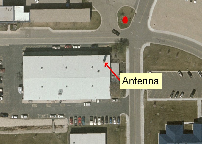
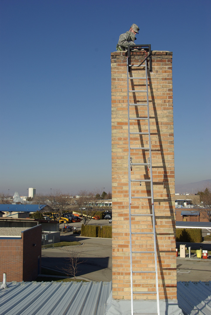
B. Monument - The antenna is mounted to large boiler chimney that is located
through a building. Building was built in the 1950’s and has recently been
remodeled. The building is an old warehouse with concrete loading docks on two
sides and a heavy concrete floor. The top of the chimney is approximately 65" X
65" with 16" thick sides. The boiler has been removed and the chimney is in good
shape. The chimney extends through the roof approximately 20 feet and is the
highest element on the roof. The antenna is approximately 50 feet from ground
level. Estimated weight of the chimney is 15 – 20 tons not including the
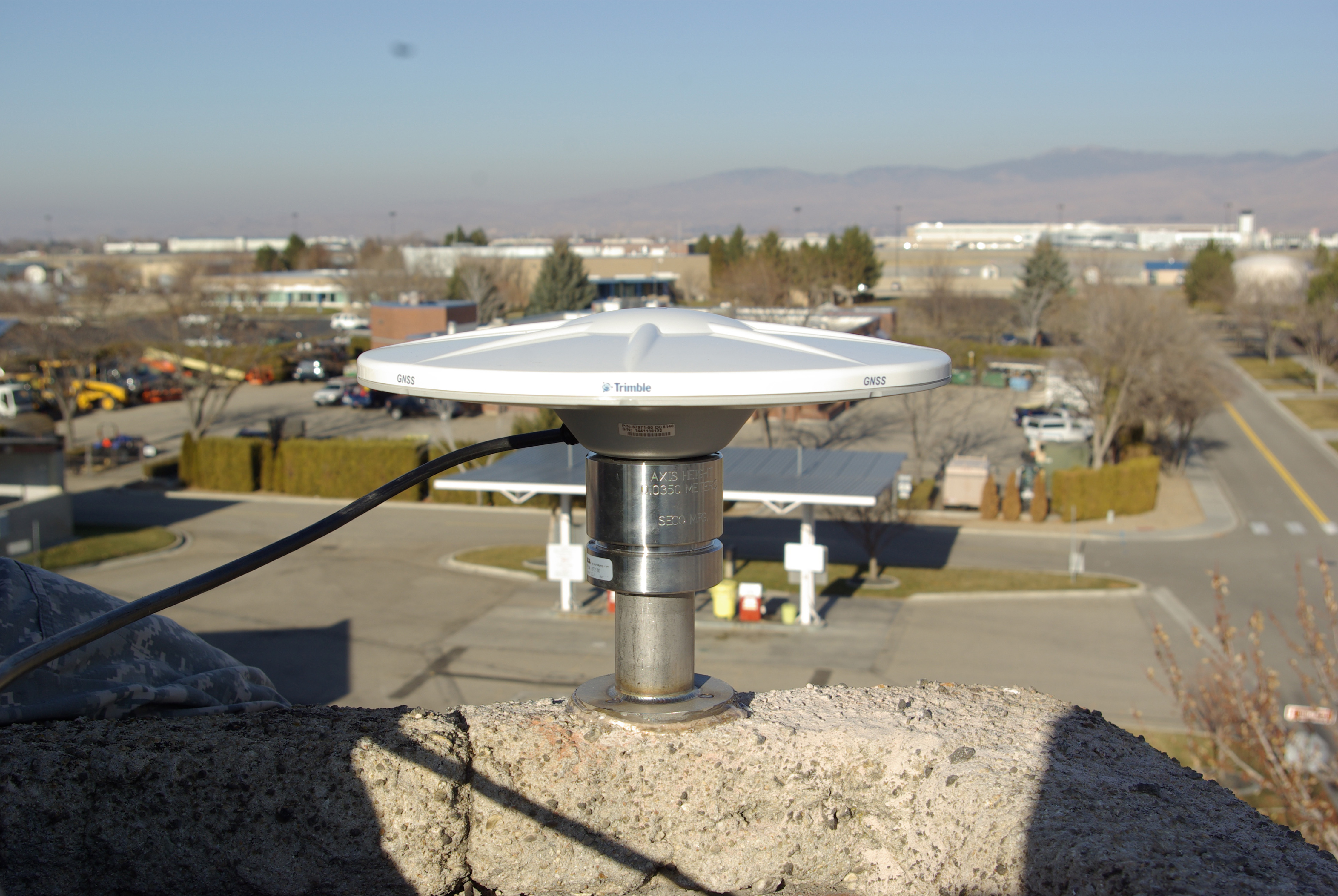
concrete foundation. The antennae is mounted to the north side top of the
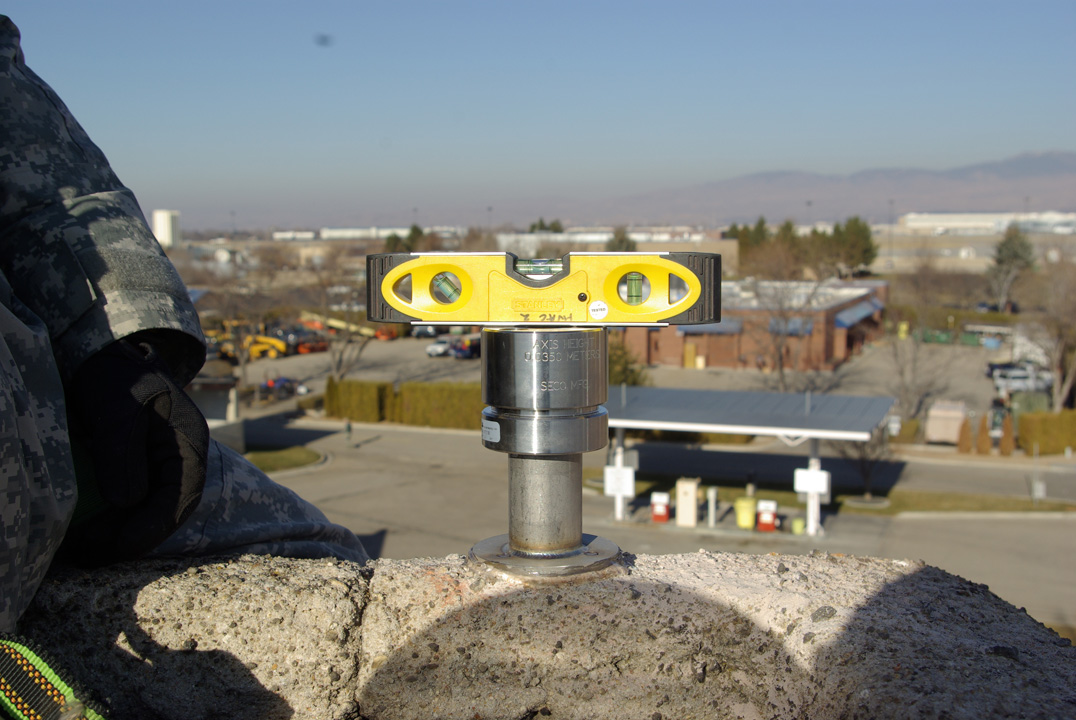
chimney using a SECO Masonry Adapter and a SECO Stainless Monument leveler. The
Monument was
leveled in all directions at installation.
B.1 Stability – This site has the best set up for stability. The base is
protected and located within a 200’ X 100’ building. This existing site has long
since done all the settling it is going to do. |
|
|
|
|
|
|
|
|
|
|
|
|
|
|
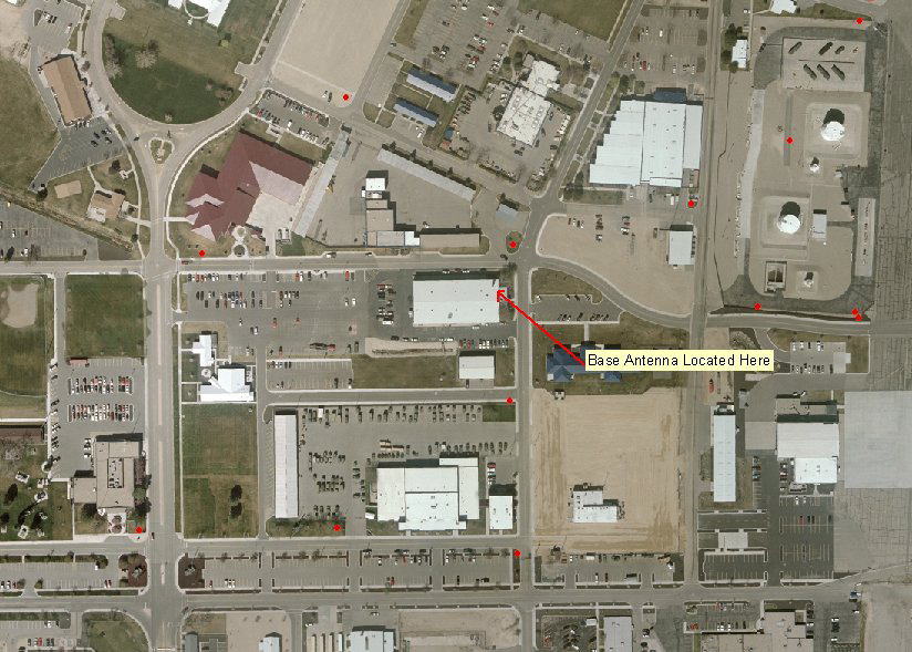
Figure 1. General Location |
|
|
|
|
|
|
|
|
|
|
|
|
|
|
|
|
|
|
|
Figure 2. Location Chimney / Antenna |
|
|
|
|
|
|
|
|
|
|
|
|
|
|
B.2 Location, Obstruction and Radio Frequency Environment.
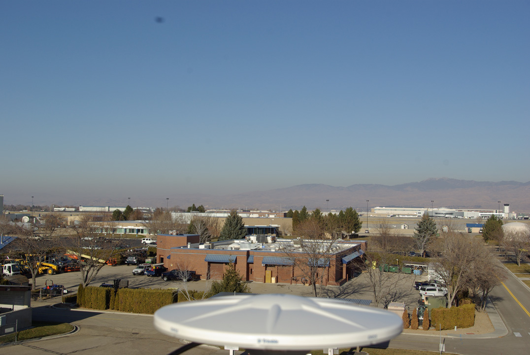
B.2a location – Good open area highest element in vicinity. Tree nearby will
require topping over the course of the lifespan. All other items clear. Note old
satellite antennae on roof is disconnected and slated for removal. No
obstruction at this time 0-90 degrees. Chimney mount location protects
most of the antenna from roof multi-path.
B.2c Radio Frequency Environment – No known radio frequency interference within
100 feet. Normal interference from urban environment. Located on southern
portion of airport. Radar station located 5,317 feet away.
B.3 Ground-based Monument – NA B.4 Roof-Based Monument
B.4a - The antenna is mounted to large boiler chimney that is located through a
building. Building was built in the 1950’s and has recently been remodeled. The
building is an old warehouse with concrete loading docks on two sides and a
heavy concrete floor. The top of the chimney is approximately 65" X 65" with 16"
thick sides. The boiler has been removed and the chimney is in good shape. The
chimney extends through the roof approximately 20 feet and is the highest
element on the roof. The antenna is approximately 50 feet from ground level.
Estimated weight of the chimney is 15 – 20 tons not including the concreted
foundation (see Figure 2). This chimney is particularly robust. The antennae is
mounted to the north side top of the chimney using a SECO Masonry Adapter and a
SECO Stainless Monument leveler. The Monument was
leveled in all directions at installation.
B.5 Attaching Antenna, Mount and Monument - The antennae is mounted to the north
side top of the chimney using a SECO Masonry Adapter and a SECO Stainless
Monument leveler. The Monument was
leveled in all directions at installation. The SECO adapter allows removal
and re-installation with little or no adjustment.
B.6 Orienting Antenna – The
number 1 on the antenna was oriented to true north. The
manufacturer’s specifications do not require the northern orientation as with
the older systems.
B.7 – Antenna Cable – Cable is directly attached to the antenna and is not under
tension. It has been looped and tied to the mounting frame. The cable is tied to
support throughout the run.
C. Equipment
C.1 Antenna – The antenna is a Trimble Zephyr Geodetic
2 Antenna. This
is NGS model TRM57971. The
serial is 1141138122 and part number is 57971-00 DC5140. Antenna was inspected
01/03/2012. There is no Radome.
C.2 Yes, The antenna is a Trimble Zephyr Geodetic 2 Antenna. This
is NGS model TRM57971. The
serial is 1141138122 and part number is 57971-00 DC5140. Antenna was inspected
01/03/2012. There is no Radome.
C.3 Receiver, Settings, and Power Supply - The receiver is a Trimble NetR9
serial 5130K77180 and part number 67668-20. It is connected to an APC Smart UPS
3000XLM providing in excess of 30 minutes backup power. Elevation cutoff angle
is 0 degrees. Recording at 1 second sampling interval. This unit logs hourly
files and tracks all satellites.
D. Communications and Data Archiving - The site data is accessible through the
web at http://emomil.imd.idaho.gov
24 hrs a day seven days a week. Rinex- files are transferred to the web site at
the end of each hour. Data will be stored online for 120 days. Rinex files are
located at:
"https://emomil.imd.idaho.gov/Vftp/GIS/GPSBaseFilesNetR9/Rinex. A web page for
custom access is located at:
https://emomil.imd.idaho.gov/RinexSurvey.aspx .
E. Site Metadataa |
|
|
|
|
|
|
|
|
|
|
|
|
|
|
|
|
|
|
|
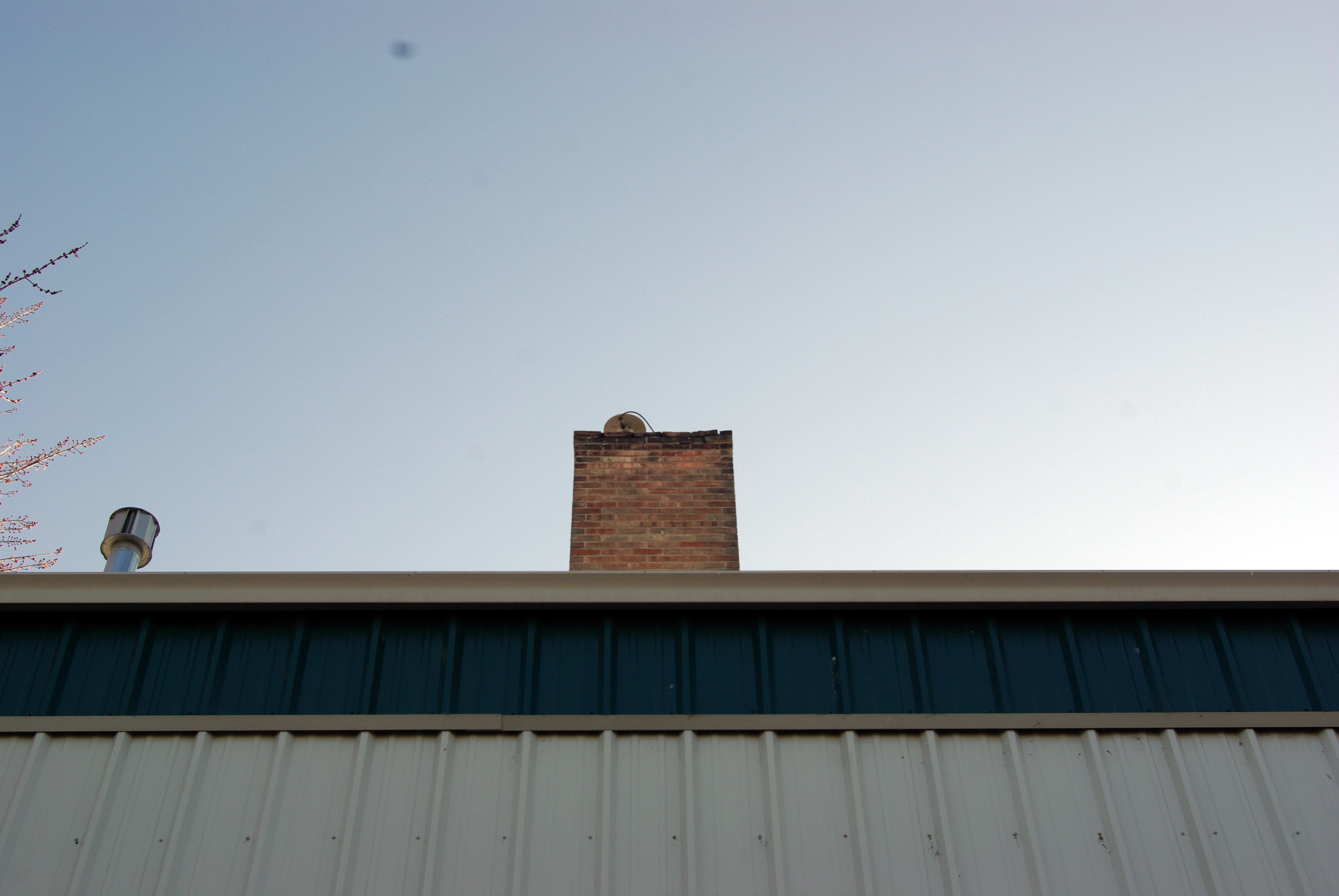
Figure 3 EMO1_Monu11 |
|
|
|
|
|
|
|
|
|
|
|
|
|
|
|
|
|
|
|
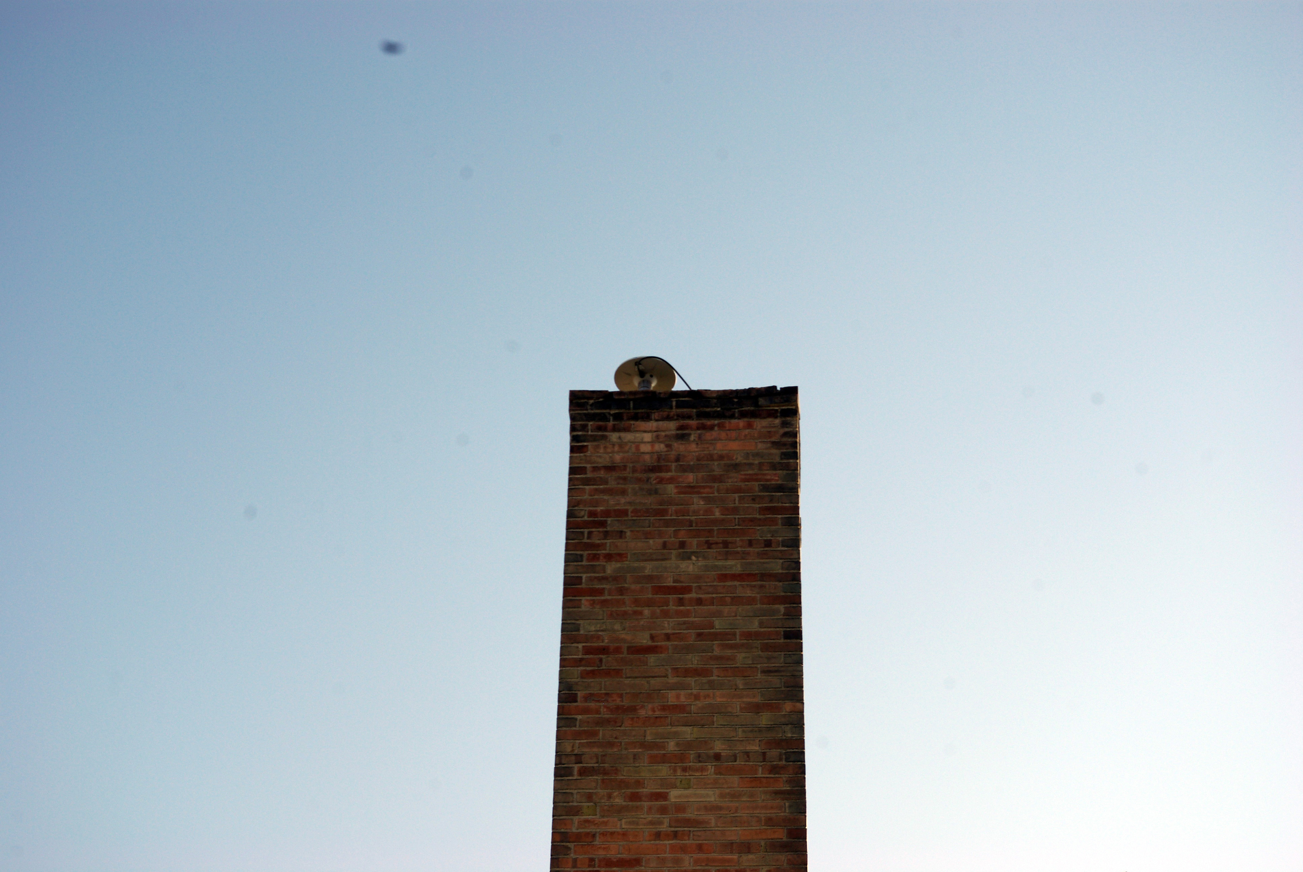
Figure 4 EMO1_Monu22 |
|
|
|
|
|
|
|
|
|
|
|
|
|
|
|
|
|
|
|
Figure 5 EMO1_Monu33 |
|
|
|
|
|
|
|
|
|
|
|
|
|
|
|
|
|
|
|
Figure 6 EMO1_Monu44 |
|
|
|
|
|
|
|
|
|
|
|
|
|
|
|
|
|
|
|
Figure 7 EMO1_Ant_Monuu |
|
|
|
|
|
|
|
|
|
|
|
|
|
|
|
|
|
|
|
Figure 8 EMO1_Ant_000 (Looking North) |
|
|
|
|
|
|
|
|
|
|
|
|
|
|
|
|
|
|
|
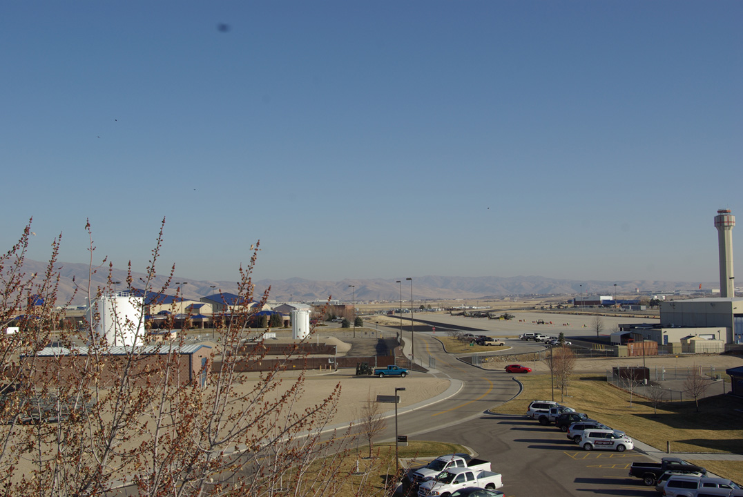
Figure 9 EMO1_Ant_090 (Looking East)) |
|
|
|
|
|
|
|
|
|
|
|
|
|
|
|
|
|
|
|
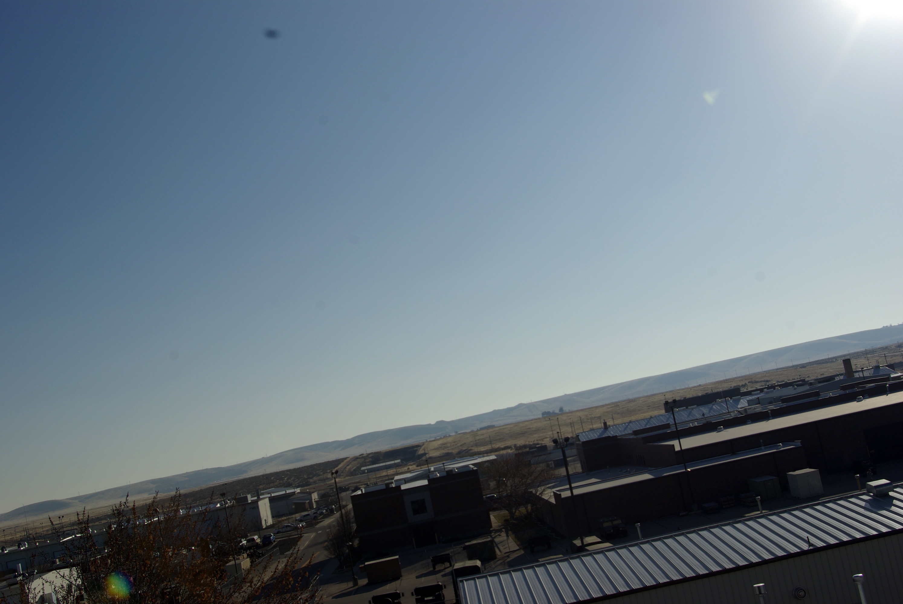
Figure 10 EMO1_Ant_180 (Looking South)) |
|
|
|
|
|
|
|
|
|
|
|
|
|
|
|
|
|
|
|
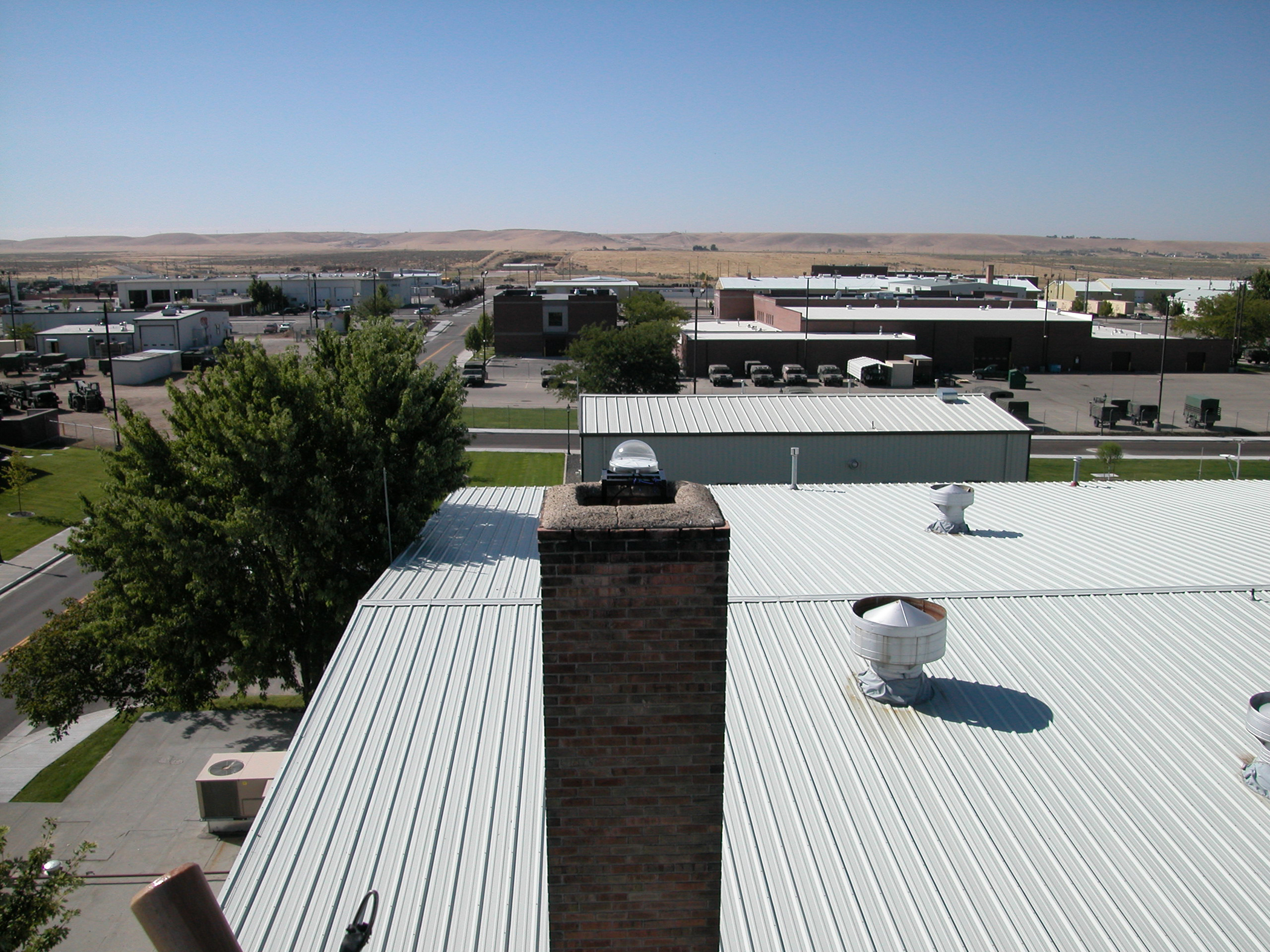
Figure 11 EMO1_Ant_180b (Looking South - View 2) |
|
|
|
|
|
|
|
|
|
|
|
|
|
|
|
|
|
|
|
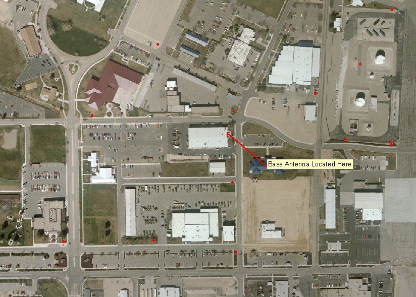
Figure 12 EMO1_Ant_270_Overview |
|
|
|
|
|
|
|
|
|
|
|
|
|
|
|
|
|
|
|
|
|
|